Initial Points: Anchors of America’s Grid
Emily Anne Kuriyama
2/3/2012

Six years ago, Louis Schalk and Jesse Vogler from the Institute of Marking and Measuring wrote a remarkably concise history of the Rectangular Survey System, detailing the 32 Initial Points – the precise locations anchoring the conceptual grid of land division in the western United States.
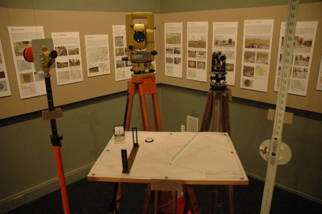
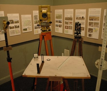
On view until mid-April, Initial Points: Anchors of America’s Grid, an exhibition by the Center for Land Use Interpretation
in association with Vogler and Schalk, juxtaposes the supposed rationality of the rectangular grid against the reality of physical transience. Panel after panel systematically describes the historical context of each Initial Point, some consecrated by monuments and others completely obscured, dilapidated and forgotten. Southern California’s initial point, established in 1852, is “preserved primarily by the remoteness of the site – it is a five hour hike, with nearly a mile gain in elevation.” Mechanically organized, Initial Points ultimately challenges our rational conception of land division, positing the surveyor as a mediator, constantly rectifying the abstract delineations of space with the reality of a living environment.
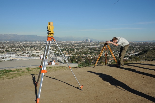
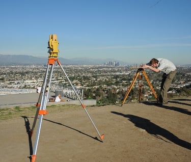
In conjunction with the opening of the exhibit, Vogler and Schalk held a workshop where participants placed an official Los Angeles benchmark in front of CLUI, travelled to the top of Baldwin Hills, and surveyed the change in elevation. Providing insight into the practical application of surveying tools, the workshop complemented the conceptual quality of the exhibit as a whole. Ultimately, Initial Points brings the practice of surveying back into the view of the general public.